With the release of our newest megaregion last week — which includes Illinois, Indiana, and Wisconsin — Replica has reached a milestone: We now have a set of activity-based travel models that cover the entire contiguous United States.
In fact, it’s the first-ever activity-based travel model that stretches from coast to coast.
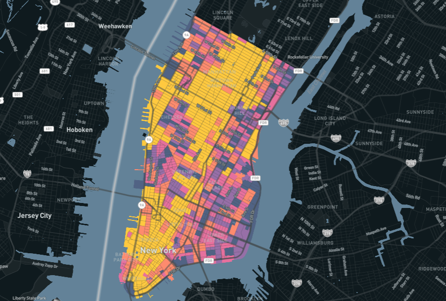
Now that this first season of Replica Places is complete, our platform provides a holistic look at mobility that covers 48 states and the District of Columbia — with nearly 1.2 billion trips representing the travel behavior of 329 million people on a typical weekday.

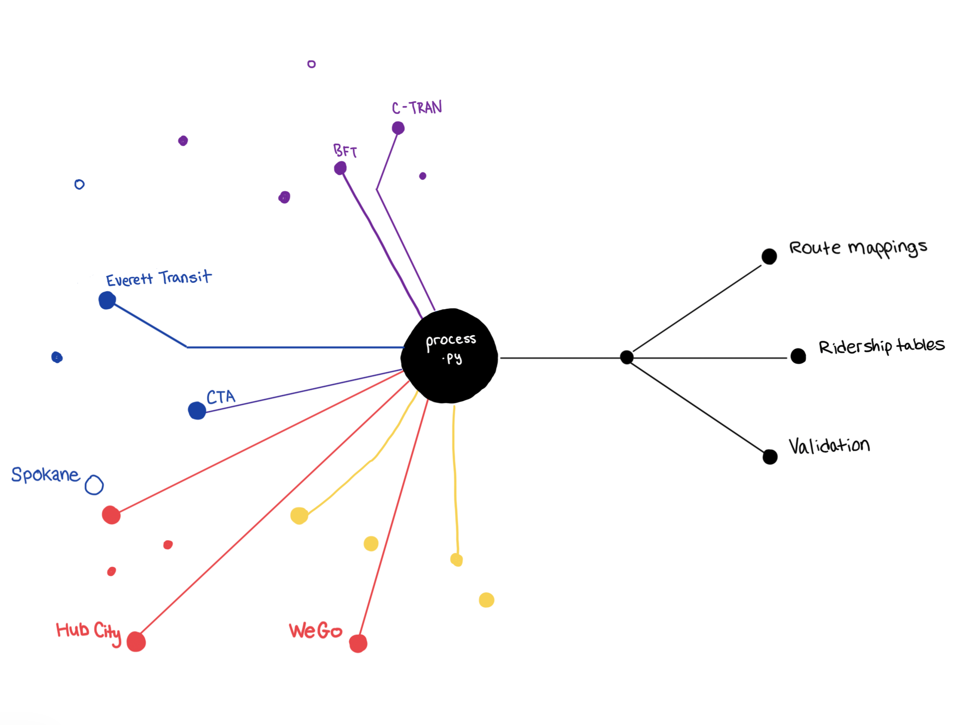
This complete model for fall 2019 means our customers have access to a pre-pandemic baseline for mobility nationwide. With multi-modal, disaggregate data down to the network-link level, and the integration of more than 3,000 transit routes from more than 300 unique agencies, it’s possible to study pre-pandemic activity in great detail, to get a sense of how mobility patterns and needs are evolving in this uncertain recovery period.
And this is just the beginning: We’re already hard at work on 2021 seasons that will reveal more about the impacts of Covid so far, and the wide array of policy changes and street-level interventions that took place in response. We will also incorporate work-from-home data into our next season to shed light on key questions about changing commuting patterns across the country.
We believe this data can empower public agencies and their private-sector partners at a crucial moment for investing in the nation’s infrastructure.
We understand that fresh, reliable, high-quality data is essential for planning cities, states, transportation networks, and economies in a fast-changing world. Despite all the changes over the past decade — let alone the past year — it’s still common for agencies to rely on years-old data when preparing for the needs of a distant future.
And transportation networks don’t operate in a vacuum. They serve people across city, county, and state lines, for a variety of purposes, and with complex connections to communities and the economy. It’s more important than ever to understand this whole picture in order to plan for what comes next.
Still, many of the tools available to planners are limited: They’re hard to use, feature old data, and are limited to small geographic areas.
We built Replica to change this. Central to our mission is making sure planners have the data they need to make decisions with confidence, to track the impacts of those decisions over time, and to adapt as needed in real time. That means delivering higher-quality data, at a larger geographic scale, with tools that are easy to use.
Even with growing recognition of the power of activity-based models, they’re still not widely used, and they’re often limited to the specific jurisdictions they’re built for.
Activity-based models are computationally intensive, so we understand why a model created for a city or metropolitan planning organization might focus narrowly on one place. But such a small scope can obscure key truths about mobility and infrastructure.
Consider California’s SB 743, as just one example. The law requires planners to analyze what impact a project will have on vehicle miles traveled. In order to do that, it’s essential to know VMT patterns for trips that occur outside of the jurisdiction as well as inside it.

When Replica produced an activity model for the Sacramento Area Council of Governments, our data showed that nearly half of all trips in the region start or end outside of SACOG’s boundaries. Having access to data about those trips allows SACOG to better understand the VMT patterns of its residents and road networks, and to meet its obligations under SB 743.
It’s work like this that demonstrates the value and potential of large-scale activity-based travel models, and we are constantly seeing encouraging new uses of our products.
Now that we’ve reached full coverage of the contiguous United States, we’re excited to see what’s possible when this level of detail is readily available to planners and transportation modelers across the country.


.jpg)